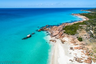
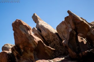
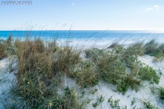
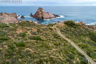
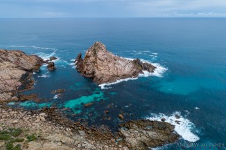
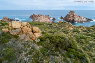
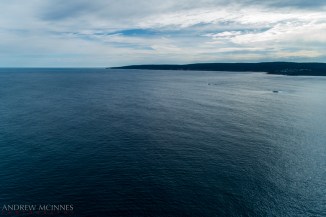
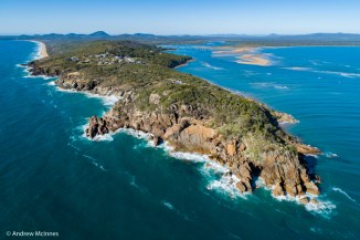
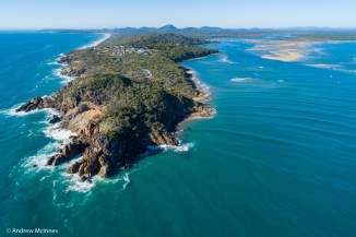
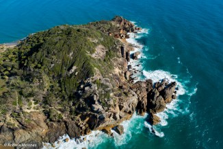
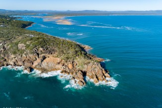
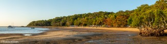
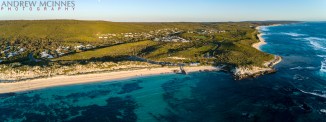
Gnarabup Beach and the White Elephant Café – at Prevelly in the Margaret River Region of Western Australia.
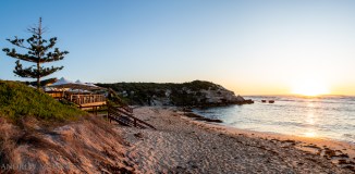
Gnarabup Beach 2AM 1508-1512 stitch ©Andrew McInnes
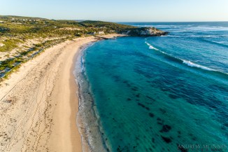
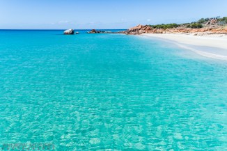
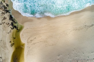
Gnarabup Beach 2AM-000249 ©Andrew McInnes
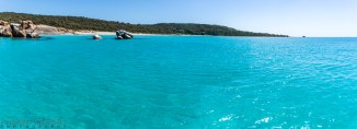
Gnarabup Beach 2AM-000252 ©Andrew McInnes
Gnarabup Beach 2AM-000254 ©Andrew McInnes
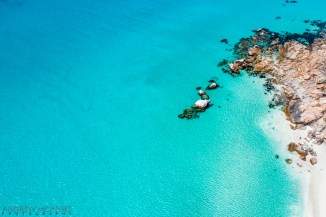
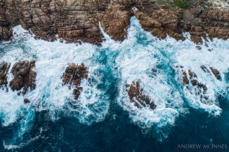
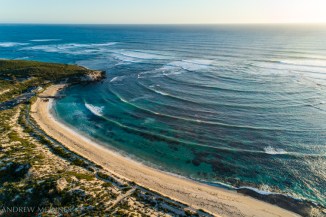
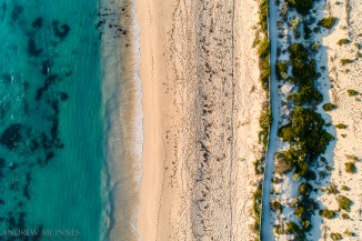
Gnarabup Beach 2AM 258-260-stack ©Andrew McInnes

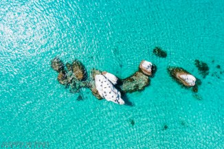
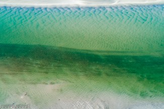
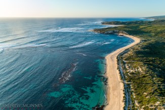
Gnarabup Beach 2AM-000261 ©Andrew McInnes
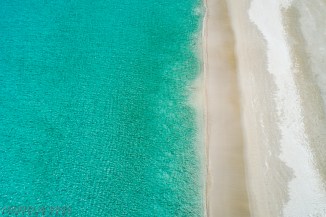
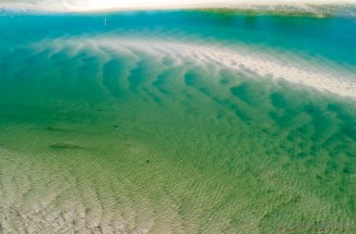
Gnarabup Beach 2AM-000264 ©Andrew McInnes
Gnarabup Beach 2AM-001530 ©Andrew McInnes
Gnarabup Beach 2AM-001497 ©Andrew McInnes

Prevelly 2AM-000086 ©Andrew McInnes
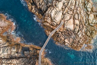
Prevelly 2AM-001525 ©Andrew McInnes

Margaret River Prevelly 2AM-001534 ©Andrew McInnes
Margaret River Prevelly 2AM-001535 ©Andrew McInnes

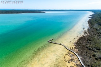
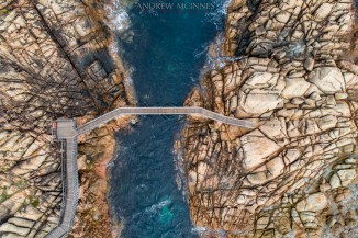
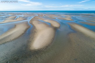
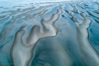
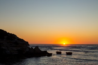
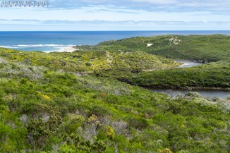
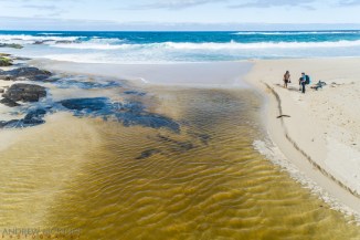
Margaret River Mouth 2AM-000272 ©Andrew McInnes
Margaret River Mouth 2AM 276-277-stitch ©Andrew McInnes

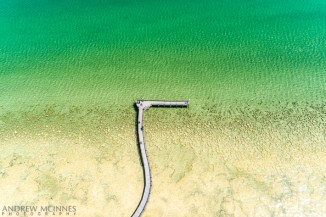
Margaret River Mouth 2AM-000278 ©Andrew McInnes

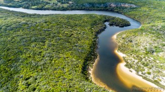
Margaret River Mouth 2AM-000288 ©Andrew McInnes
Margaret River Mouth 2AM-000280 ©Andrew McInnes
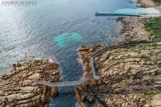
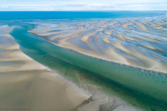
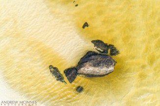
Margaret River Mouth 2AM-000309 ©Andrew McInnes
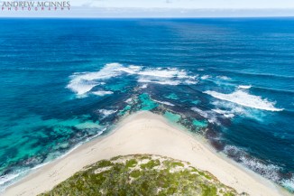
Margaret River Mouth 2AM-000304 ©Andrew McInnes
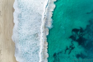
Margaret River Mouth 2AM-000286 ©Andrew McInnes
Margaret River Mouth 2AM-000294 ©Andrew McInnes
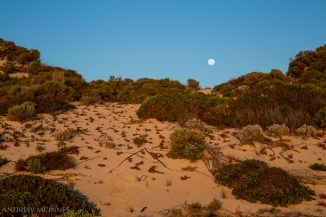
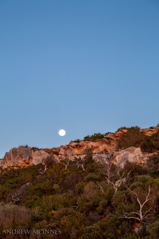
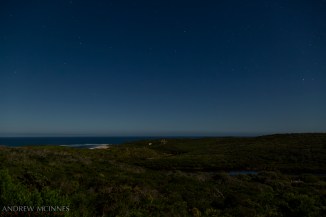
Moonlit Margaret River mouth.
Margaret River Mouth 2AM 001532 NR ©Andrew McInnes
Cheers 🙂