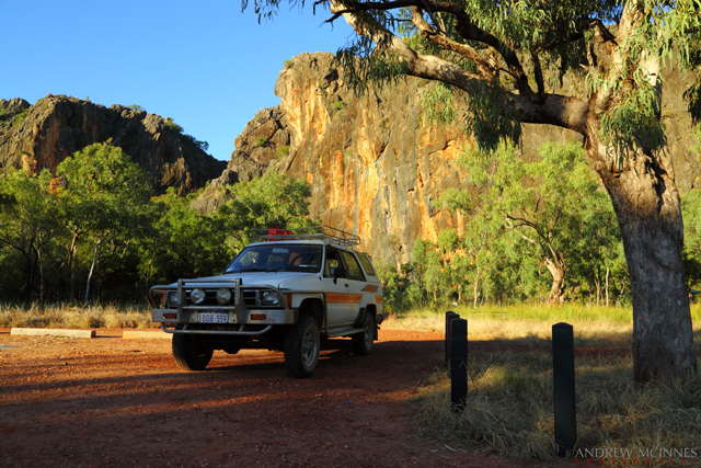
I recently embarked on what turned out to be a quite a drive with the purpose of visiting an old mate from my teenage years whom I have not seen for more than 20 years! My old vehicle (1984 Toyota Hilux diesel) logged 9,193 km (5,712 miles) doing my return trip from Fremantle – Kununurra – Fremantle, Western Australia.
With an esky full of water and assorted sandwich-construction material, plus spare diesel, oil, etc., I essentially drove until it was time to find a bush-camp for the night. I’d awake early and continue northward, repeating as required until I arrived at Kununurra.
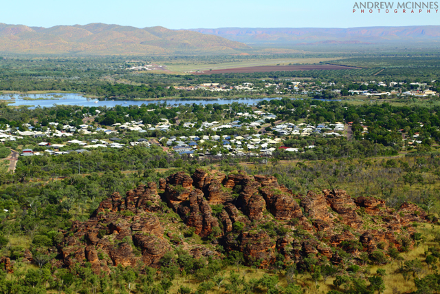
Subsequent blog postings will present more images from the trip to the north of this bloody big state.
Theses images document my travels up and back – I hope you will find them appealing.
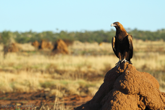
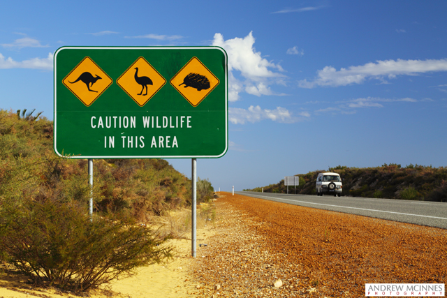
It isn’t long until these emblematic signs present themselves, with varying fauna presented.

Iconic Aussie Wildlife (sans koala which is not native to WA) – Indian Ocean Road. © 2014 Andrew McInnes.
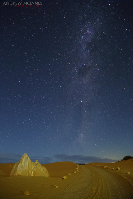
Having previously visited and photographed The Pinnacles (click here to view these) at Nambung National Park, near Cervantes, I chose to revisit and shoot more images from this amazing ‘moonscape’ before moving on and finding a place to camp for the night.
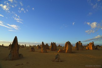
Early evening light bathes a portion of the calcium carbonate structures at The Pinnacles Desert. © 2014 Andrew McInnes.

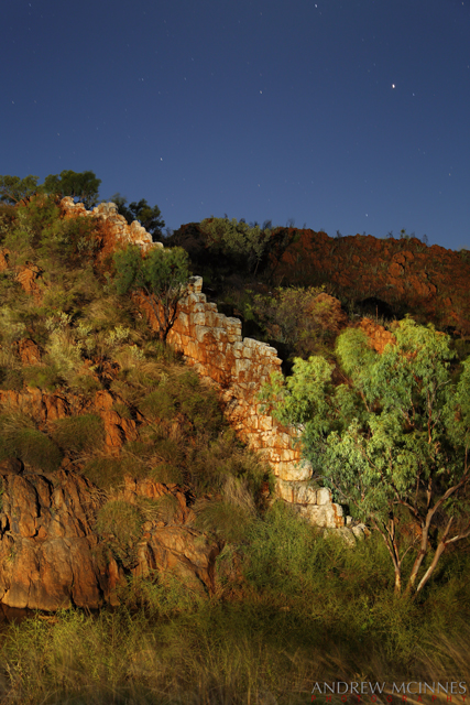
This image contains part of the Milky Way, plus the Southern Cross, a meteor, and Magellanic Clouds which are irregular dwarf galaxies visible from the southern hemisphere. © 2014 Andrew McInnes.

© 2014 Andrew McInnes.
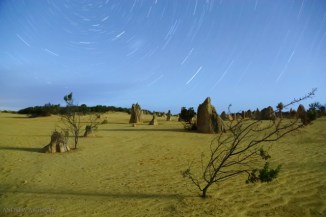
A long exposure for pin-wheel stars. © 2014 Andrew McInnes.
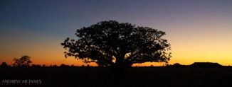
This leaning tree is but one of many around the Greenough area. These River Gum/eucalyptus trees (Eucalyptus camaldulensis) have horizontal trunks due to exposure to strong and near-continuous southerly winds.
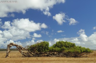
Leaning Tree of Greenough. © 2014 Andrew McInnes.
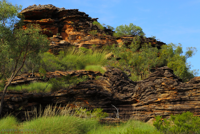
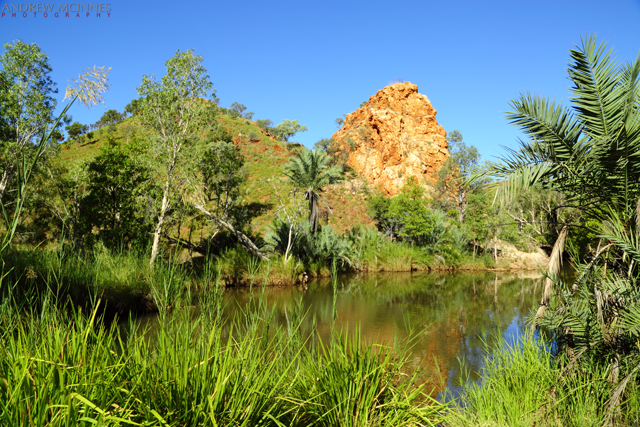
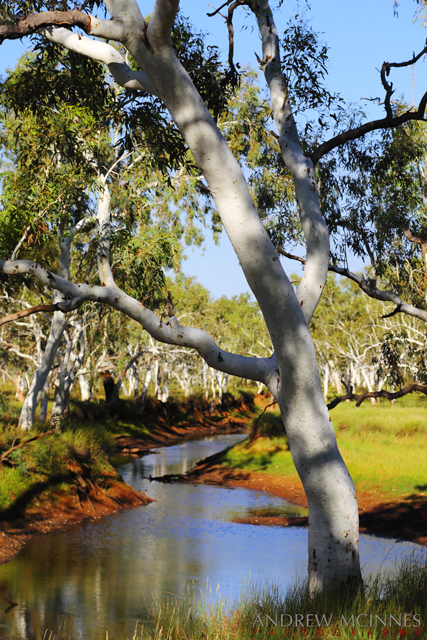
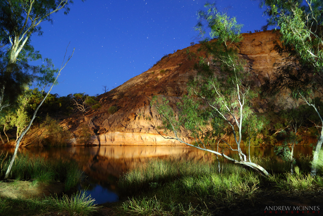
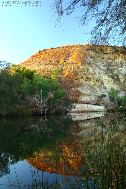
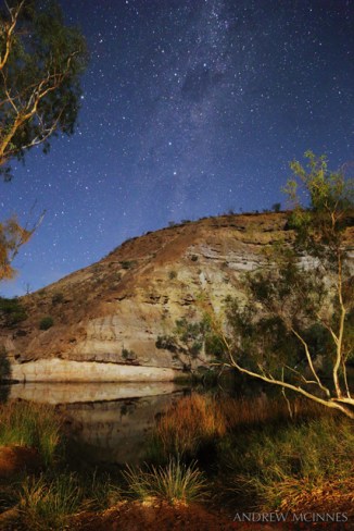
Should you find yourself anywhere near Geraldton or Walkaway, I thoroughly recommend a visit to Ellendale Pool, be it for a day trip or a place to camp – as I did for an evening.

This is a light-painting during the blue-hour of dusk. © 2014 Andrew McInnes.
Another light-painting, this time a little later in the evening. © 2014 Andrew McInnes.
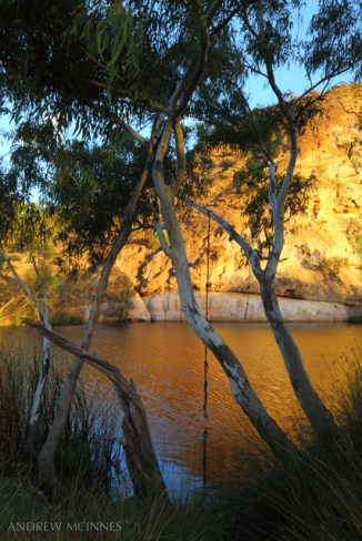
Ahhh, a rope swing – top setting for it! © 2014 Andrew McInnes.

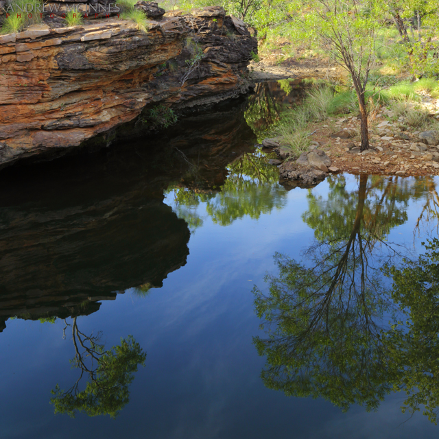
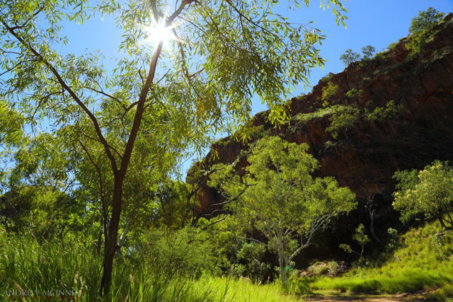
Morning’s reflection. © 2014 Andrew McInnes.
Lovely spot to set up a caravan!

A “room with a view”. © 2014 Andrew McInnes.
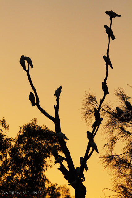
The ubiquitous and raucous Little Corella

Little Corellas in flight. © 2014 Andrew McInnes.
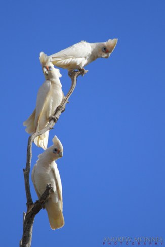
Little Corella. © 2014 Andrew McInnes.

Little Corella. © 2014 Andrew McInnes.
Hope you enjoyed the early portion of my trip, if vicariously 🙂
More images from the trip to follow soon.
Cheers,
Andrew