Day 9-11. Makarora and Fox Glacier etc, South Island – New Zealand.
Onwards…
More from Otago, plus some from West Coast. As is the case with all holidays, the end comes too soon.
This last post includes images from Blue Pools on the Makarora River, the Whataroa River, Fox Glacier, and Lake Hawea (near The Neck).
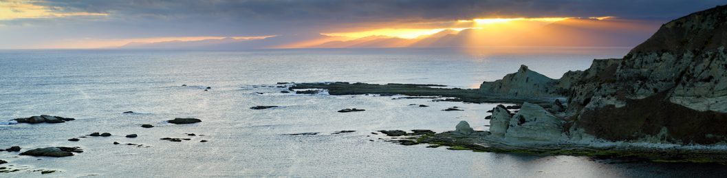
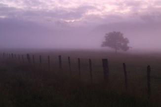
Dusk settles over the Southern Alps at Makarora.

Makarora 2AM-000934.
©Andrew McInnes
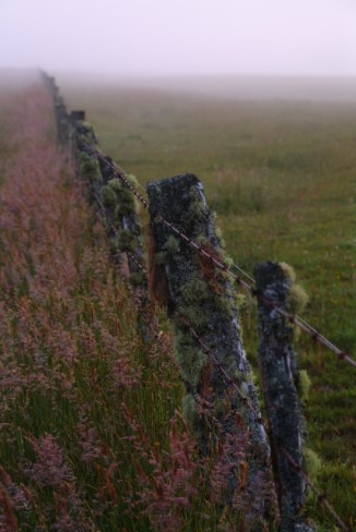
Makarora River 2AM-000931.
©Andrew McInnes

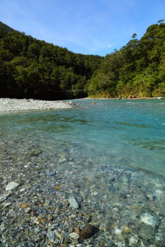
Makarora River 2AM-000930.
©Andrew McInnes
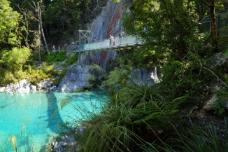
The stunning, and frigid, Blue Pools.

Blue Pools – Makarora River 2AM-000916.
©Andrew McInnes
Blue Pools – Makarora River 2AM-000914.
©Andrew McInnes
Happy hour 🙂
Cold beers and conversation in and alongside the Makarora River.

Makarora 2AM-000539.
©Andrew McInnes
A Tui (Prosthemadera novaeseelandiae), in the honeyeater family, foraging on New Zealand flax (Phormium sp.).

Tui 2AM-004945.
©Andrew McInnes
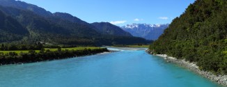
Dawn over the Southern Alps at Fox Glacier – includes Aoraki / Mount Cook.
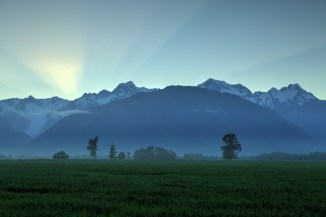
Fox Glacier 2AM 1002-4 HDR.
©Andrew McInnes
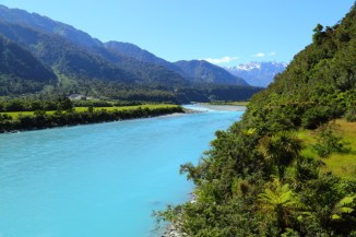
Fox Glacier 2AM-000957. ©Andrew McInnes

Fox Glacier 2AM-000981.
©Andrew McInnes
Fox Glacier 2AM-000988.
©Andrew McInnes

Fox Glacier 2AM-000993.
©Andrew McInnes
Fox Glacier 2AM-000995.
©Andrew McInnes

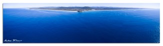
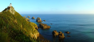
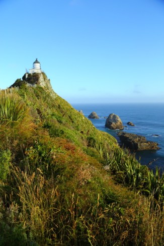
The Neck 2AM-000537 iPhone panorama.
©Andrew McInnes
Whataroa River 2AM 1024-1029 panorama.
©Andrew McInnes
Whataroa River 2AM-001017.
©Andrew McInnes
I hope you enjoyed this and the previous posts of my images from a fantastic holiday in New Zealand.
Cheers 🙂